AMTI explains the role of China’s Maritime Militia in this short explainer video featuring high-resolution imagery from Thitu Island and Loaita Cay:
Since early March, Chinese fishing vessels—apparently part of the country’s maritime militia force—have been operating near two Philippine-held features in the disputed Spratly Islands: Loaita Island and Loaita Cay, called Kota and Panata Islands by Filipinos. The Philippine press began to report this militia presence in early April, prompting the government to say it would protest to Beijing. This comes as tensions between the two sides are running high over the presence of a larger Chinese flotilla deployed since December 2018 near Philippine-occupied Thitu Island. Over the last several weeks, Philippine officials have issued diplomatic protests and public recriminations against Beijing over that deployment, which appears aimed at dissuading Manila from continuing modest infrastructure upgrades on Thitu.

Loaita Island is located about 24 nautical miles south of both Thitu Island and the large Chinese air and naval base on Subi Reef. It measures just 20 acres, one-fifth the size of Thitu, and has hosted a small Filipino military garrison since 1978 but has very little infrastructure. The Philippine outpost on Loaita Cay, 5.5 nautical miles to the northwest, sits on a sandbar smaller than 2 acres. Due to a decades-old cartographic error, this facility is often incorrectly described as being on Lankiam Cay, 21 nautical miles to the east.
Satellite images collected on March 12, 16, and 29, and April 7 confirm the presence of Chinese vessels in the area, most of which show every indication of belonging to the maritime militia. In almost every instance, the vessels are riding at anchor, many in large clusters, and without fishing gear in the water. On March 12, a single Chinese fishing trawler of about 50 meters was visible near Loaita Island. Four days later, that had increased to eight large trawlers. And by March 29, there were at least 15 large Chinese fishing vessels and eight small boats in the area.

Thirteen of the Chinese vessels in the area measured roughly 50 meters while two were about 20 meters. Some were located between 2 and 2.5 nautical miles from Loaita Island, and one loitered near unoccupied Lankiam Cay to the east, but most were arrayed around Loaita Cay. None were engaged in trawling or appeared to have fishing gear deployed.

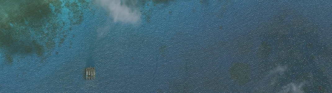
Four Chinese trawlers were riding at anchor less than half a nautical mile from the Philippine outpost at Loaita Cay, considerably closer than AMTI has ever seen militia vessels approach another country’s facility before. This must be particularly provocative for the Philippine detachment on the cay, who likely rely on frequent resupply and relief from those on Loaita Island.

About 1 nautical mile to the east of Loaita Cay, a Philippine Navy LST-542-class tank landing ship was deployed within sight of two Chinese trawlers. This World War Two-era vessel, likely either the BRP Benguet or BRP Laguna, is the same class as the BRP Sierra Madre which the Philippines intentionally ran aground on Second Thomas Shoal in 1999.

The two 20-meter Chinese vessels in the area were each towing three small boats. Two more of these small boats were visible traveling southeast from the vicinity of Loaita Cay. These vessels appear similar to the “chopper boats” and their mother ships often seen harvesting giant clams by intentionally destroying coral reefs around the South China Sea, most recently at Scarborough Shoal. No new scarring is visible on the reefs, either on March 29 or in subsequent imagery, so these boats could have been engaged in other types of reef fishing. Or, like the larger Chinese vessels, they have been foregoing fishing in the service of the maritime militia.

In another image from April 7, only six large vessels and two small boats were visible near the features, though more of the latter could have been present. These included two 50-meter trawlers riding at anchor, three of the 20-meter vessels, including one towing two small boats less than half a nautical mile from Loaita Cay, and one 50-meter falling net vessel with its gear deployed—the only time a large Chinese vessel in any of these images appeared to be fishing.
An even more recent image from April 14 shows no vessels near Loaita Island, but Loaita Cay is not visible, so it is unclear whether Chinese vessels remain in the vicinity. In any case, this month-long deployment around the two features shows that the flotilla around Thitu Island is not a one-off incident. As prior research has shown, the maritime militia is and will likely remain the most visible arm of China’s power directed at its neighbors in the Spratly Islands.


